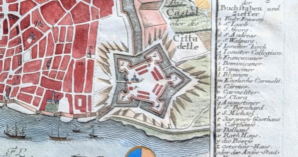
This bird’s-eye view of Antwerp Belgium was first engraved by Gabriel Bodenehr in 1725. It was published in Force d’Europe which is one the most complete collections of European castles, city plans and fortifications ever published. My copy came from the original publication and was later colorized, which was the style, several years later.
nThis was the first map that kicked off my obsession with cartography. This also happens to be the map where I discovered the Citadel van Antwerpen.
nGabriel Bodenehr was a German map maker and member of one of the many famous publishing families located in Augsburg Bavaria.


